| Chambeyron Massif | |
|---|---|
 The Chambeyron Massif and the north face of Aiguille de Chambeyron | |
| Highest point | |
| Elevation | 3,412 m (11,194 ft) |
| Parent peak | Aiguille de Chambeyron |
| Coordinates | 44°32′21″N 6°49′38″E / 44.5390788°N 6.8272953°E |
| Naming | |
| Native name | |
| Geography | |
| Country | |
| Region | |
| Geology | |
| Age of rock | Cretaceous to Pre-Permian |
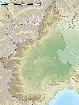
The Chambeyron massif (French: Massif de Chambeyron, Italian: Gruppo del Chambeyron) are a massif in the Alps, straddling between France and Italy, between the Escreins massif, the Cottian Alps and the Mercantour-Argentera massif. It occupies the high valleys of Ubaye, Maira, Varaita and Stura di Demonte.[1]
- ^ Bulletin de la Société géologique de France (in French). La Société. 1957.


